
The Strait of Hormuz is a narrow waterway—roughly 21 nautical miles (39 km) at its widest, narrowing to about 3 km in the shipping lanes—connecting the Persian Gulf to the Gulf of Oman and the Arabian Sea. Today, it is best known as the world's most critical energy chokepoint, with around 20% of global oil and significant LNG volumes passing through it daily. Yet its strategic importance stretches back over five millennia, long before the discovery of oil.
Ancient Origins: Bronze Age Trade Routes
Maritime activity through what we now call the Strait of Hormuz dates to at least 2600 BCE during the Bronze Age. Sumerian merchants from Mesopotamia (cities like Ur and Lagash) sailed the "Lower Sea" to trade with the Indus Valley Civilization (Harappan culture) and the region of Magan (modern Oman). Goods included copper, teak wood, lapis lazuli, and pearls. The strait served as a vital waypoint linking the civilizations of the ancient Near East with the Indian Ocean world.
Alexander the Great's admiral Nearchus conducted one of the earliest recorded surveys of the route in 325 BCE, navigating from the Indus River back toward the Persian heartland.
Under the Achaemenid Persian Empire (and later the Sasanian Empire), the strait became an imperial lifeline, facilitating trade across a vast domain. The Romans, including Emperor Trajan, viewed the Persian Gulf with strategic envy but never fully controlled it.
The Medieval Kingdom of Hormuz (10th–17th Centuries)
By the 10th century, the town of Hormuz had emerged as a thriving commercial hub under Islamic rule. It handled spices, silk, indigo, dates, and horses. In the 13th–14th centuries, Mongol raids prompted the kingdom's rulers to relocate the capital to the offshore island of Jarun (modern Hormuz Island), creating a fortified entrepôt sometimes described in exaggerated terms as a wealthy but decadent trading powerhouse.
The Kingdom of Ormus (as Europeans called it) paid tribute to mainland powers while dominating Gulf trade for centuries.
European Colonial Era: Portuguese Dominance and Its End
The arrival of European powers transformed the strait into a theater of imperial competition.
- 1507–1622: Portuguese Control — Portuguese explorer Afonso de Albuquerque captured Hormuz Island in 1507 (with a more permanent foothold in 1515). They built a formidable fortress and imposed the cartaza system—a protection racket requiring ships to buy Portuguese passes or risk seizure. This gave Portugal a near-monopoly on Gulf trade for over a century. The Ottomans repeatedly challenged them (notably in 1552), but failed to dislodge the Portuguese.
- 1622: Expulsion by Safavid Persia and England — Shah Abbas I of the Safavid Empire, lacking a strong navy, allied with the English East India Company. A joint force besieged and captured Hormuz Island, expelling the Portuguese. The ruins of their fort were later used to build Bandar Abbas on the mainland. This event marked the decline of Portuguese power in the Gulf and the rise of British and Dutch influence.
British treaties with local tribes in the 19th century helped suppress piracy along the "Pirate Coast" (parts of modern UAE) and established the Trucial States, laying groundwork for future Gulf states.
Modern Era: Oil, Wars, and Brinkmanship
Oil discovery in Persia (Iran) in 1908 shifted the strait's importance dramatically. By the mid-20th century, it became the primary export route for Gulf crude.
Key modern flashpoints include:
- 1951 British Blockade — After Iran's nationalization of its oil industry, Britain blockaded the strait to pressure Tehran economically.
- 1980–1988 Iran-Iraq War ("Tanker War") — Both sides attacked commercial shipping. Iran threatened to close the strait and laid mines; the U.S. Navy escorted tankers and clashed with Iranian forces (notably Operation Praying Mantis in 1988). The "Death Corridor" phase saw heavy attacks, but the strait was never fully closed for extended periods.
- 2011–2019 Tensions — Iran repeatedly threatened closure in response to sanctions and nuclear disputes. Incidents included ship seizures, limpet mine attacks (2019), and drone strikes on tankers.
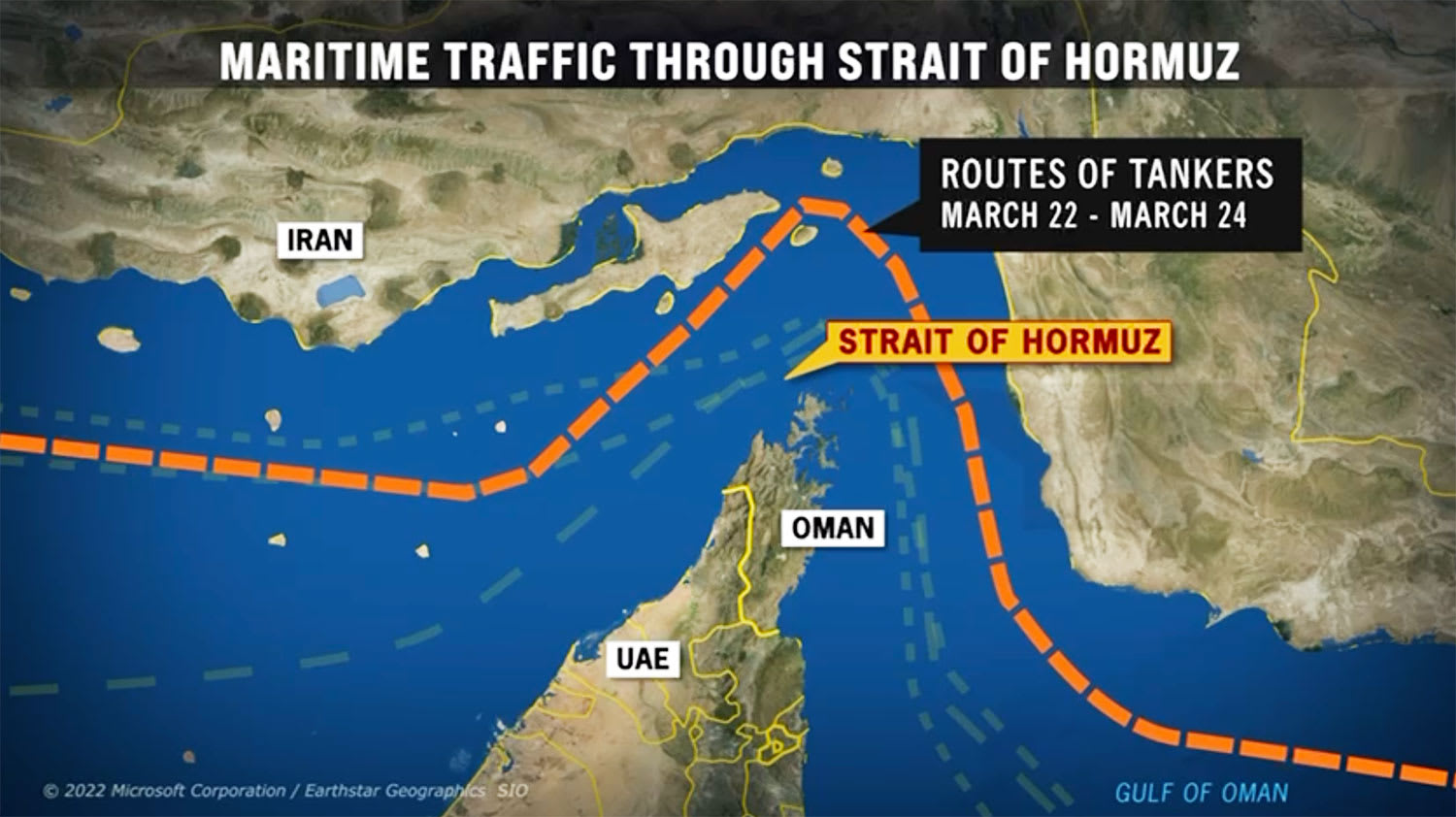
- 2025–2026 Conflicts — Short wars and escalations saw renewed threats, attacks on vessels, and temporary disruptions, culminating in the February–March 2026 crisis where Iran effectively restricted traffic following U.S.-Israeli strikes. A two-week ceasefire in early April 2026 hinged on reopening the strait for "safe passage."
Throughout history, the strait has rarely been closed for long despite threats—unlike narrower chokepoints such as Bab el-Mandeb. Its geography (deep enough for supertankers yet narrow and vulnerable) makes full closure devastating but militarily challenging.
Geological and Enduring Strategic Context
Geologically, the strait formed over millions of years from the collision of the Arabian and Eurasian plates, which closed the ancient Tethys Ocean and created the Persian Gulf. Sea levels rose dramatically after the last Ice Age, flooding what was once a shallow, walkable basin.
Today, seven of eight major islands in the strait are controlled by Iran, adding to its leverage.
Why History Matters Now
From Sumerian copper traders to Portuguese fortresses, British gunboats, and modern supertankers, the Strait of Hormuz has always been a hinge of global commerce. Empires rose and fell seeking control over it, yet it has proven remarkably resilient—never fully shut for prolonged periods despite repeated crises.
The 2026 ceasefire, with its focus on immediate safe opening of the strait, echoes centuries of high-stakes bargaining. As long as the world relies on Gulf energy, this narrow stretch of water will remain one of the most watched—and contested—places on Earth.
What aspect of the Strait of Hormuz's history surprises you most? Share your thoughts below.


No comments:
Post a Comment